
Upzoning The American Tobacco Trail
Southern cities should upzone to make the most of areas along greenways.
Written By Zoe Tishaev
The Atlanta Beltline has introduced a new way of utilizing trails as a means of transportation rather than simply recreation. Pedestrians and bicyclists use the Beltline as a sort of car-free highway, traveling to local businesses and parks as they enjoy the nature that surrounds them. More trails should follow the standard set by the Beltline.
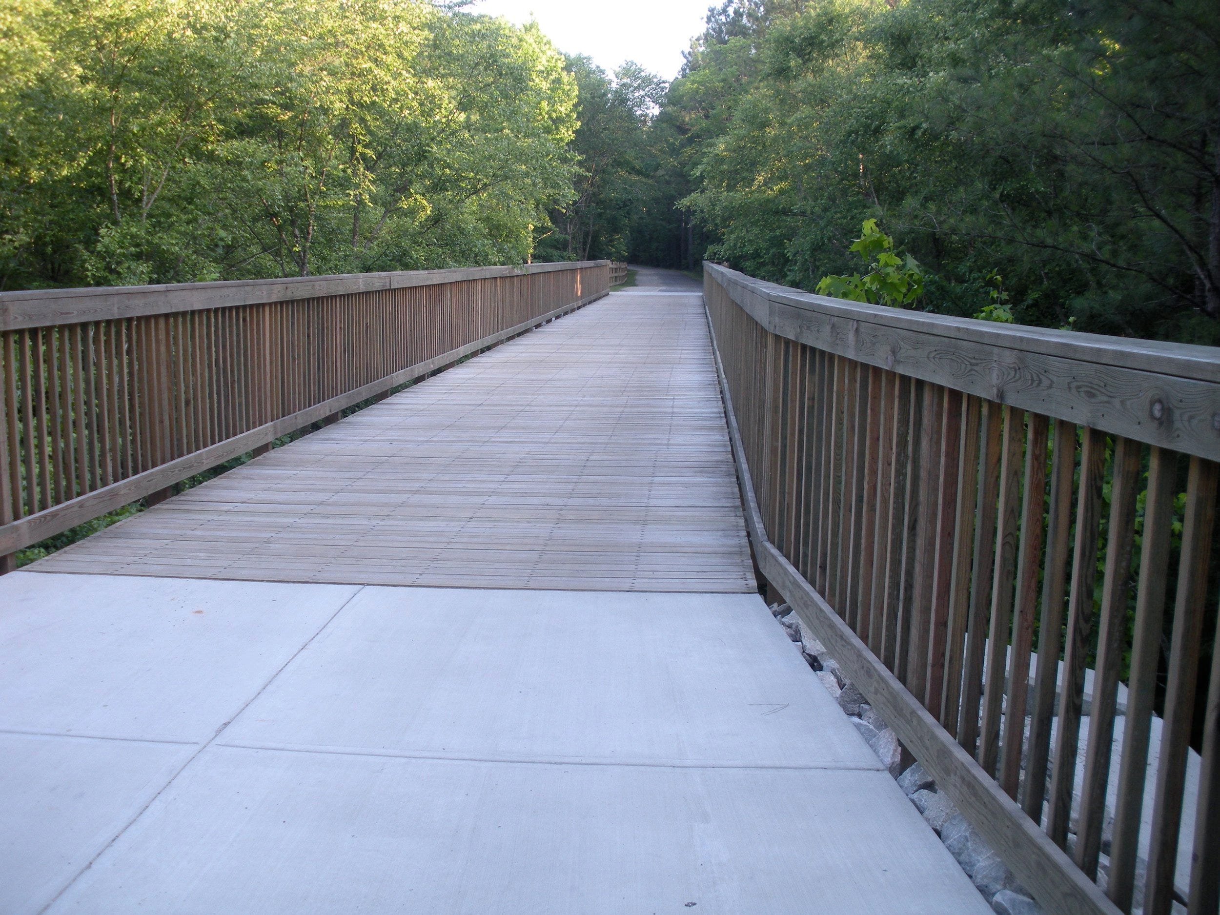
In North Carolina, the American Tobacco Trail (ATT) is a 22-mile route that connects pedestrians, bicyclists, and skaters from Durham’s own American Tobacco Campus all the way to the town of Apex. Along the way, users encounter everything from historical landmarks to business hubs.
To better contextualize the land-use patterns that the ATT cuts through, we can use the T1-6 transects, described below:
Naturalists use the transect concept to describe the characteristics of ecosystems and the transition from one ecosystem to another. Andres Duany and other urbanists applied this concept to human settlements, and since about 2000 this idea has permeated the thinking of new urbanists. The rural-to-urban Transect is divided into six zones: natural (T1), rural (T2), sub-urban (T3), general urban (T4), center (T5), and core (T6). The remaining category, Special District, applies to parts of the built environmental with specialty uses that do not fit into neighborhoods.
For most of the ATT through Durham, land use patterns are T3 and T4. Only after the ATT crosses over Renaissance Parkway in the South does it drop into largely rural T2 areas. The parts of the trail centered in suburban/general urban zones are rife with potential for development. So what would happen if we treated the ATT like any other roadway—a potential place for traffic, for business, and for housing? Here are some ideas.
West Enterprise Street
Half a mile from the start of the Trail, south of Business 15 and at the corner of Southside, the ATT crosses West Enterprise Street. This area is just southwest of a small strip mall with a Compare Foods, a laundromat, and a few other retailers. Also serviced by the GoDurham Route 7 bus, this would be a perfect spot to upzone existing real estate into mixed use and enable the construction of some Missing Middle homes.

Fayetteville Street
About two miles from the start of the trail, the ATT crosses Fayetteville Street. This is a bustling intersection that borders a Food Lion and some light commercial activity to the south. Apartments lie to the north; heavy single-family residential developments, to the northeast. An elementary school and a grid of single-family homes is just north as well. The area is also serviced by the GoDurham Route 5 bus.
With plenty of housing, the bones for existing light commercial, and several overbuilt and underutilized parking lots, this area could significantly benefit from an increase in density.
After this intersection, the ATT drops into the T3 zone.

Riddle Road
Another mile South brings the ATT to Riddle Road. Here, the trail splits in two, with a spur that shoots off to the east for about one and a half miles before connecting with a CSX train line. Now in a thoroughly suburban area, the closest housing is across the four-lane stretch of Fayetteville Street that lies immediately to the east. But that doesn’t mean there isn’t potential: The ATT cuts behind a small shopping center containing Triangle Mini Mart, a dentistry practice, and an industrial supplies store, all with an unsurprisingly overbuilt parking lot.

Riddle Road Spur
Just up Riddle Road from the previous node, the ATT crosses Apex Highway at a bustling intersection with a collection of single-family homes to the north and southeast, light commercial and a development of townhomes to the southwest, and a cemetery to the northwest. This area is also serviced by the GoDurham 12 and 12B bus routes.
With plenty of untapped space, this area could serve as a catalyst for more development along Riddle Road, creating a whole destination that could be reached along the ATT.

The ATT can be more than a corridor slicing through the Triangle. It could be a destination, giving rise to new businesses, homes, and activity along the way. Durham, like many other southern cities, should learn from Atlanta's Beltline and take active steps to promote economic growth along this treasured resource.
Zoe Tishaev is the Spring 2023 Duke Initiative for Urban Studies Fellow on Transportation Alternatives and University Development.